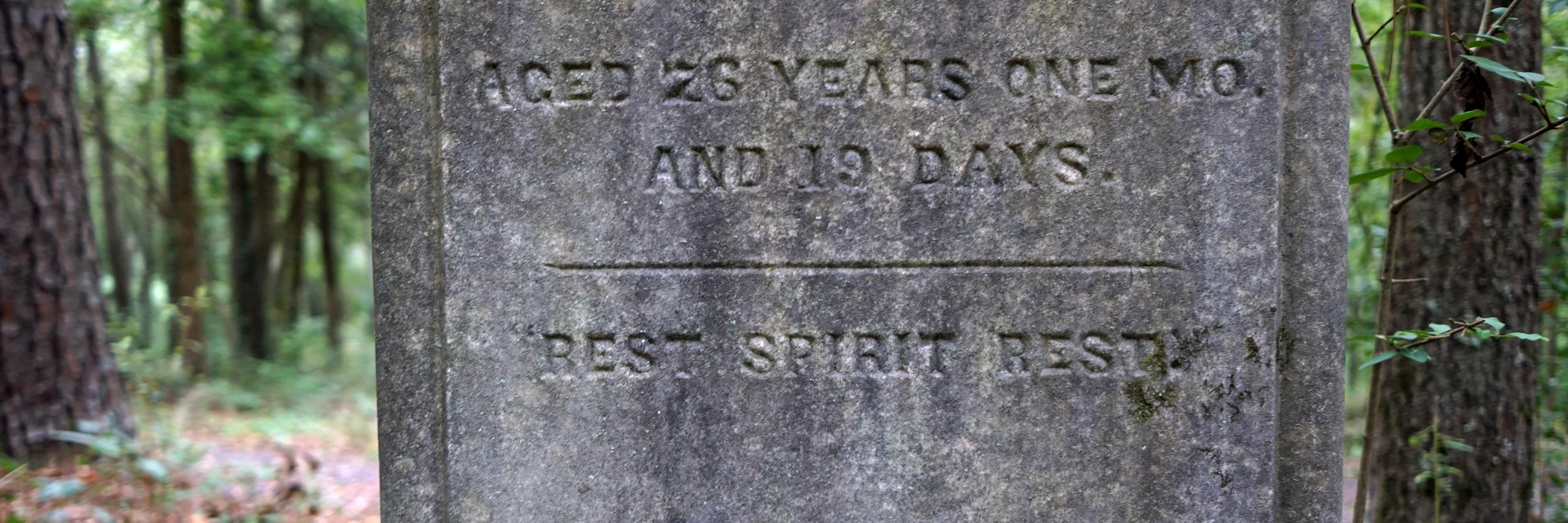
Death Certificate Maps
Compiling data from 3,405 death certificates from 1919 to 1927, we have mapped the last known residential addresses of both white and Black Athenians. Our intent is not to reduce an individual's life to a numerical statistic, but rather use 'Big Data' and spatial analysis to draw connections and reveal overarching patterns, such as the lethal effects of poverty and racial segregation. Using the residential addresses listed on the death certificates, we have we have mapped this community. To view the interactive map, Click Here.
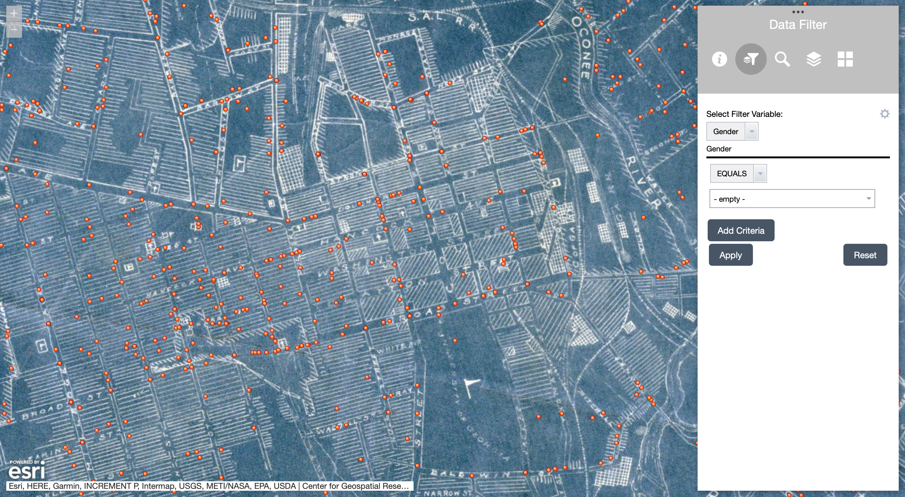
Using the "Data Filter" feature, Athens-Clarke County death certificate data can be sorted according to gender, race, occupation, cause of death, age at death, year of death, funeral home, and cemetery. The "Base Map," likewise, can be changed to a modern or historic map of Athens, Georgia and the "Search" function can search decedent's last names. The historic map from 1925 shows segregated residential areas as well as commercial districts. [1]
NEXT: Essays
[1] Map of the City of Athens in 1925, produced by Warren H. Manning Offices, Inc., Landscape Design and Regional Planning, Cambridge, Massachusetts. This map illustrates the spatial dynamics of racial segregation. Source: Hargrett Rare Book & Manuscript Library, University of Georgia (Athens, Georgia).